1 / 3
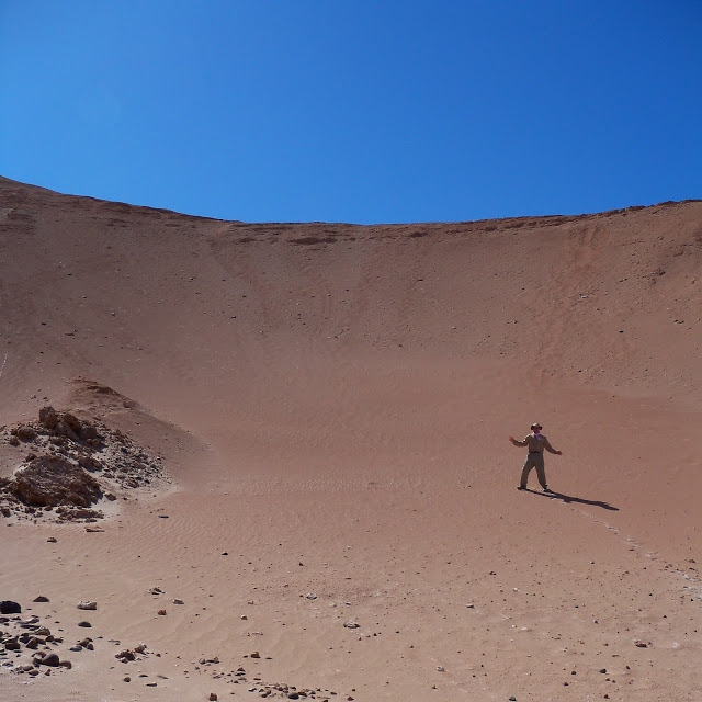
Vitor Valley
2 / 3
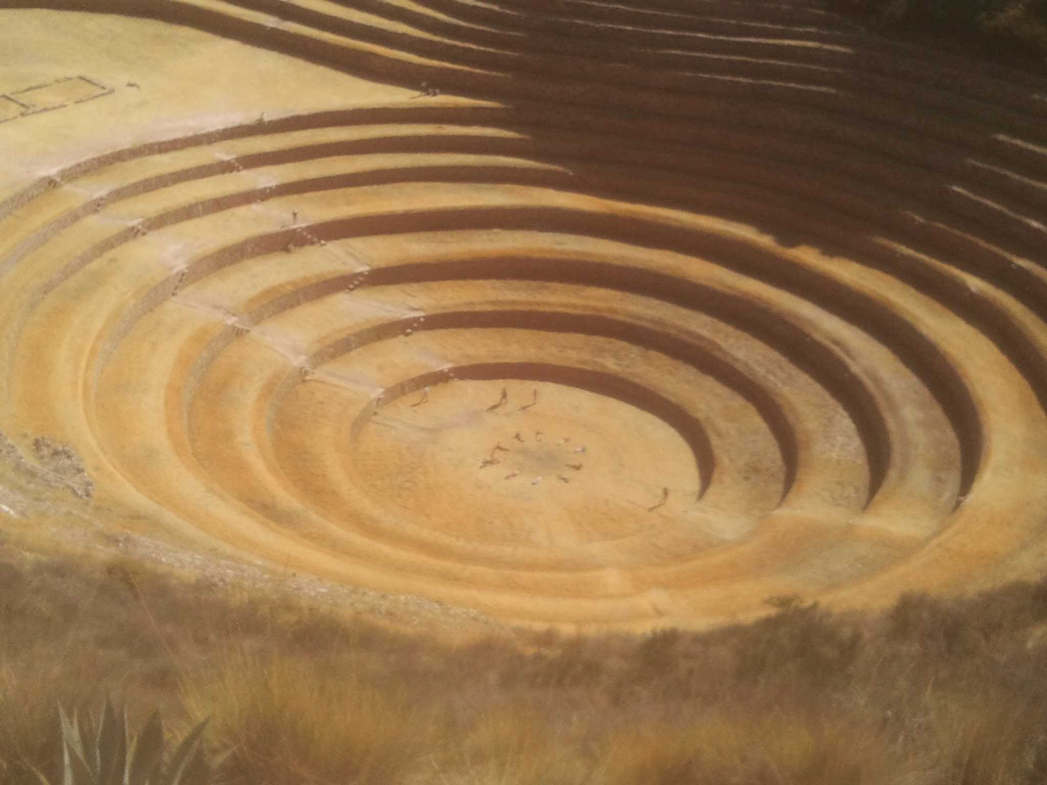
Peru Ruins
3 / 3
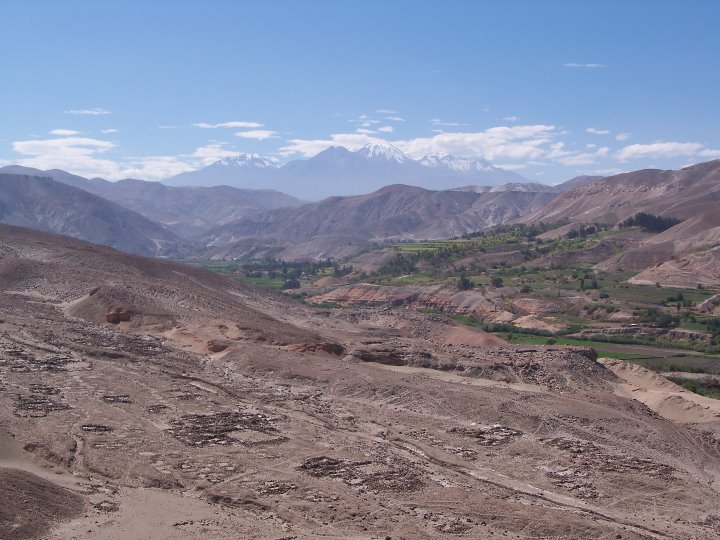
Peru Ruins
❮
❯
❰
Transforming dirt in to layers
Working 3 years in archaeology has given me a perspective on how space can be layered.
Transitioning from archaeology to GIS was a major step in the understanding of spatial
science and how a basic building block are layers. This is how I view layers in terms
of switching from archaeology to GIS.
Layers
Layers are the key building block to map our physical geological composition. Every layer
has a level containing a representation of information that are built in to the molecular
compounds that have developed over time.
Variation of layers
Amongst a categorized grid, there are particles that make up the space formed into a third dimension.
The particles form into slides, and are naturally shifting over time by earthen and human processes.
These form into the structured objects that are created over thousands of years. The structured slides
and particles form into various patterns. A layer is created and can be broken down in to smaller
bits and scanned in to forms of data.